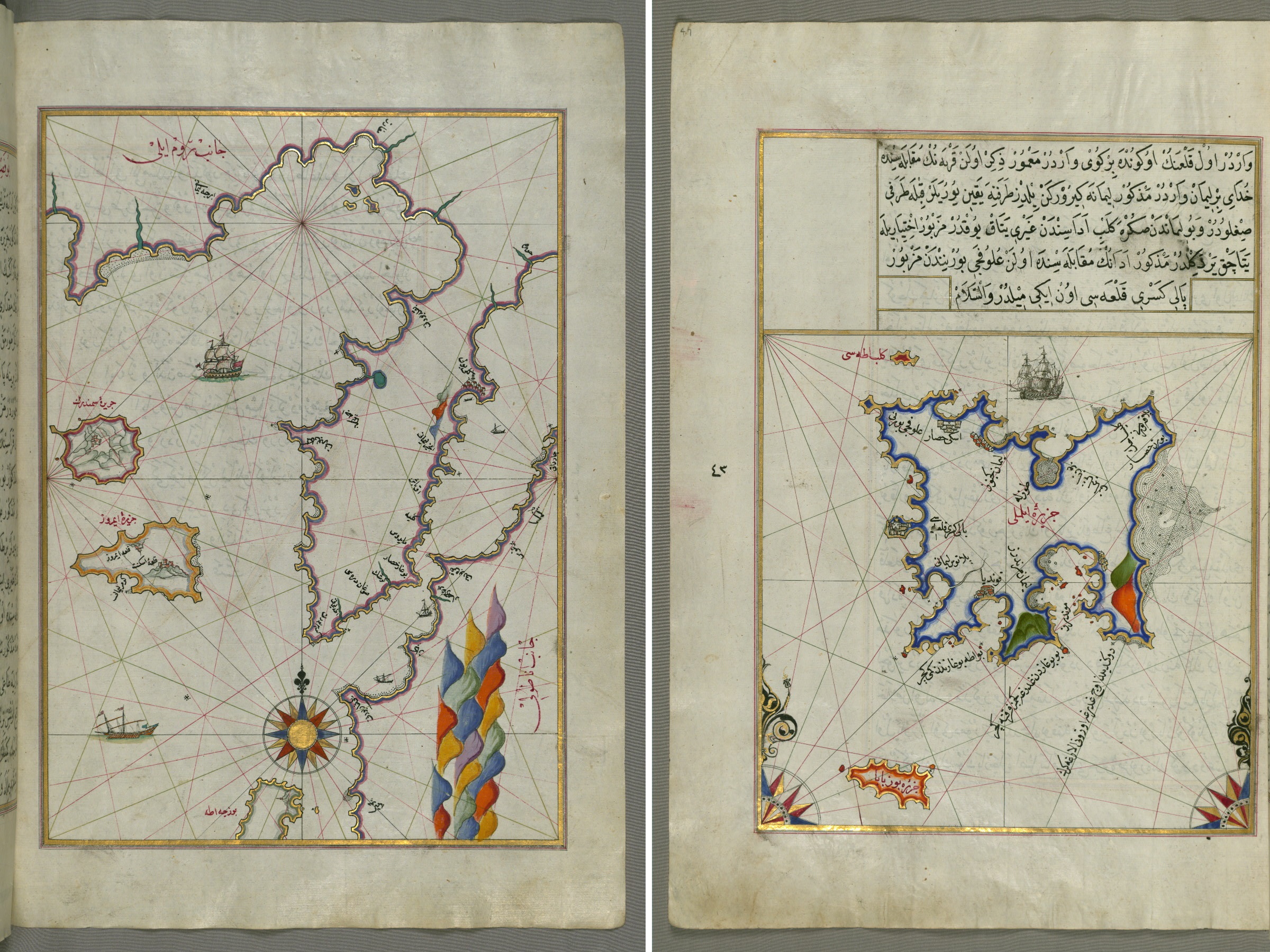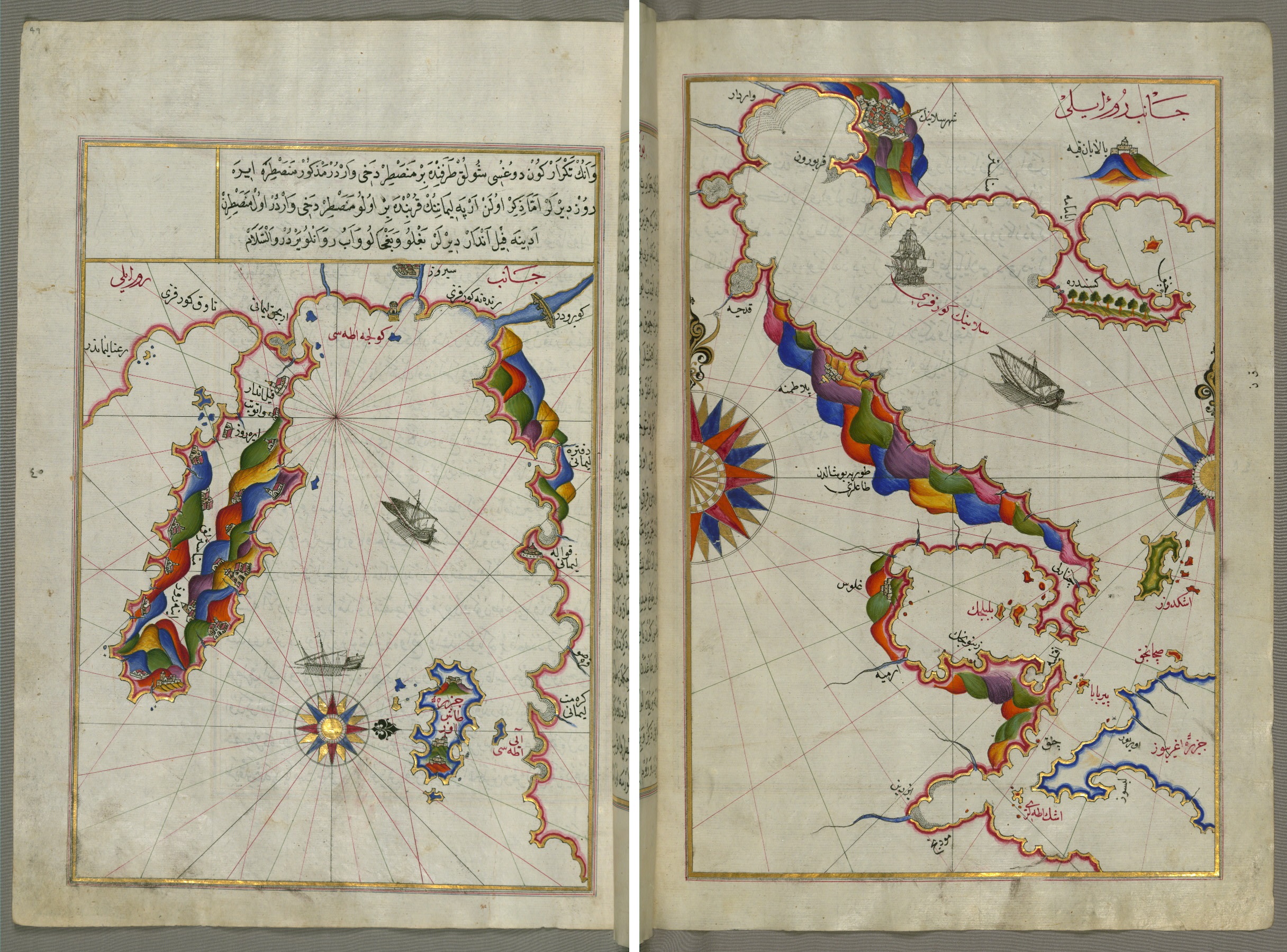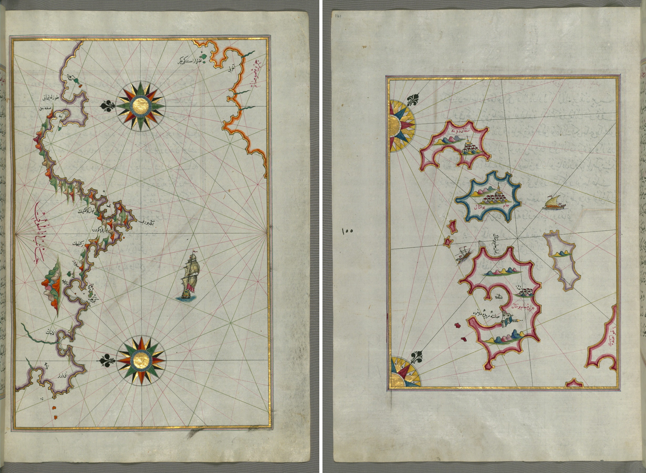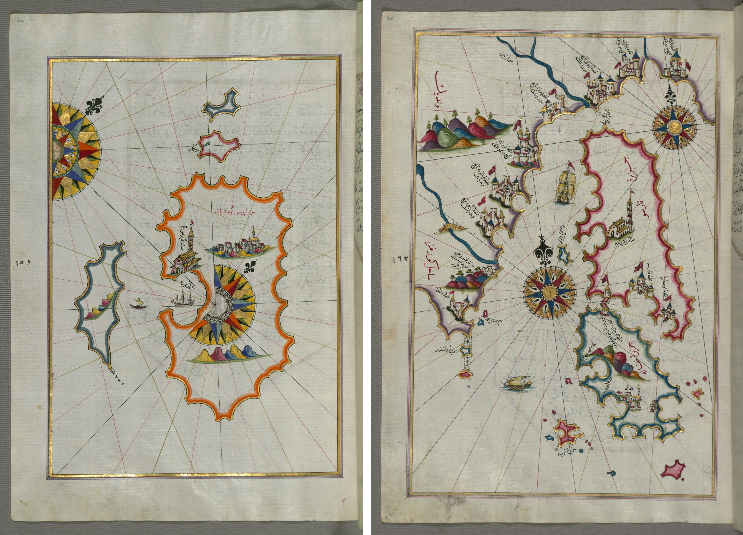

Piri Reis (Mukhiddin Piri Bey) is an Ottoman traveler and admiral of the 15th-16th centuries who created a number of important navigational charts and a map of the world. The commander fought against the Venetians, Genoese, Spaniards, participated in the capture of the island of Rhodes. Piri Reis began working on maps after his uncle died in a shipwreck in 1511. In 1521, he compiled the atlas "Book of the Seas" (Kitab Bahriye), collecting 130 navigational charts with comments under one cover. In 1525, an expanded version was prepared, in which 210 cards were collected.
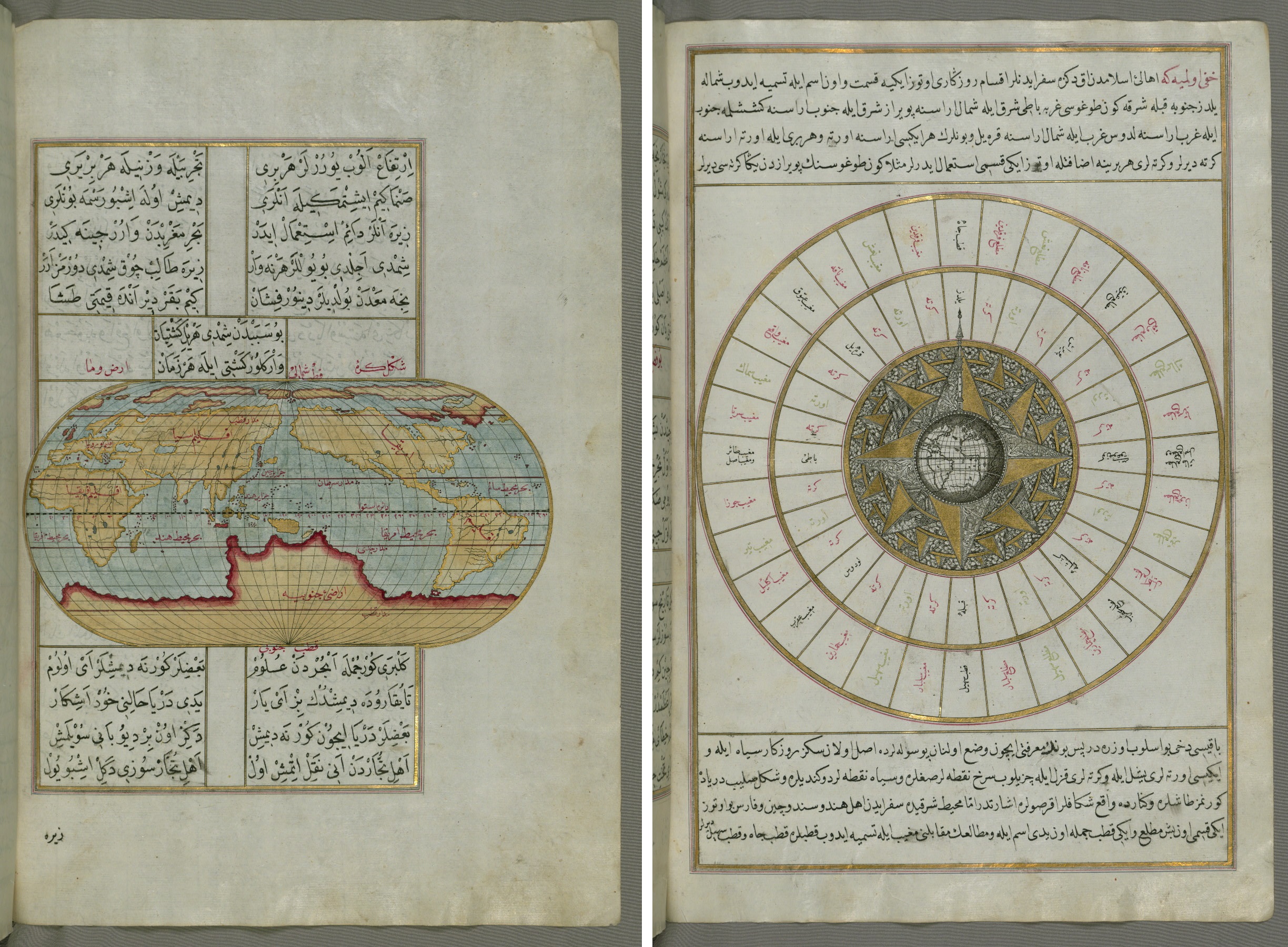
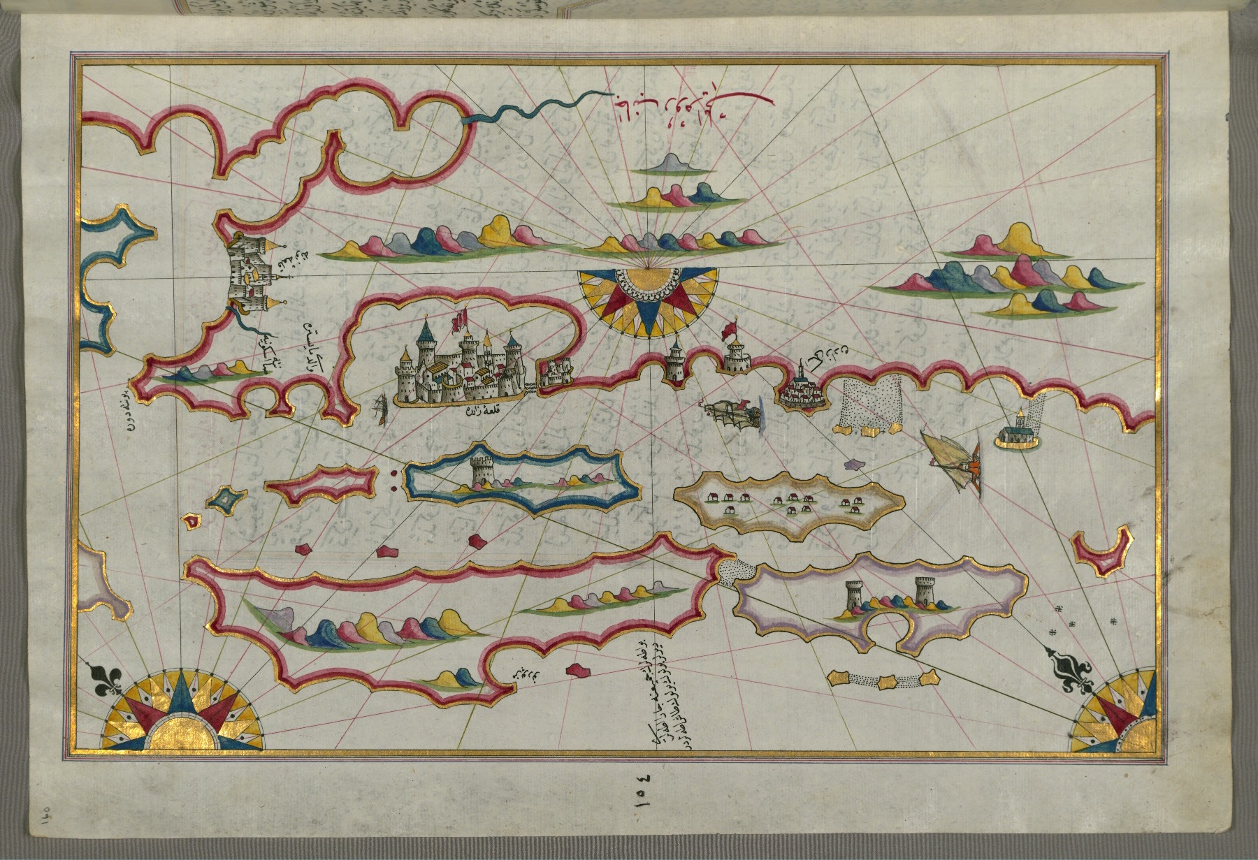
The "Book of the Seas" is dedicated to the tenth sultan of the Ottoman Empire, Suleiman I the Magnificent. Consists of two parts. The first contains information about various storms, the correct use of the compass, methods for determining the direction of the ship. A number of texts tell of discoveries in the New World. The second part presents maps with coastlines of continents and islands in different parts of the world: the coasts of Spain, Egypt, Anatolia, Italy, France and other regions.

Piri-Reis explained in The Book of the Seas why he decided to create an atlas: the format of the map on one page did not allow to convey all the smallest details. Already after the death of the cartographer, in the 17th century, the third version of the atlas was published. The text part remained unchanged, but much more maps appeared, in particular, the work of the Italian Battista Agnese and the Dutchman Abraham Ortelius.
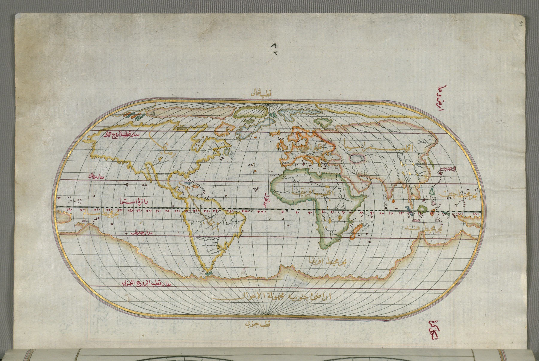
Today, copies of the atlas are kept in the museums of Istanbul, Vienna, Bologna, Paris, and London. Fragments of the "Book of the Seas" presented in this publication are taken from a copy that is located in the Walters Art Museum (USA).